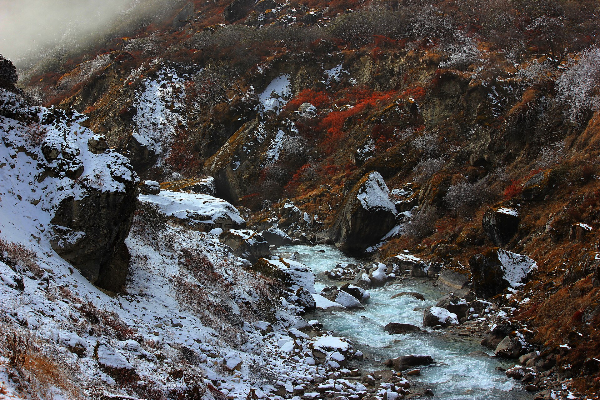
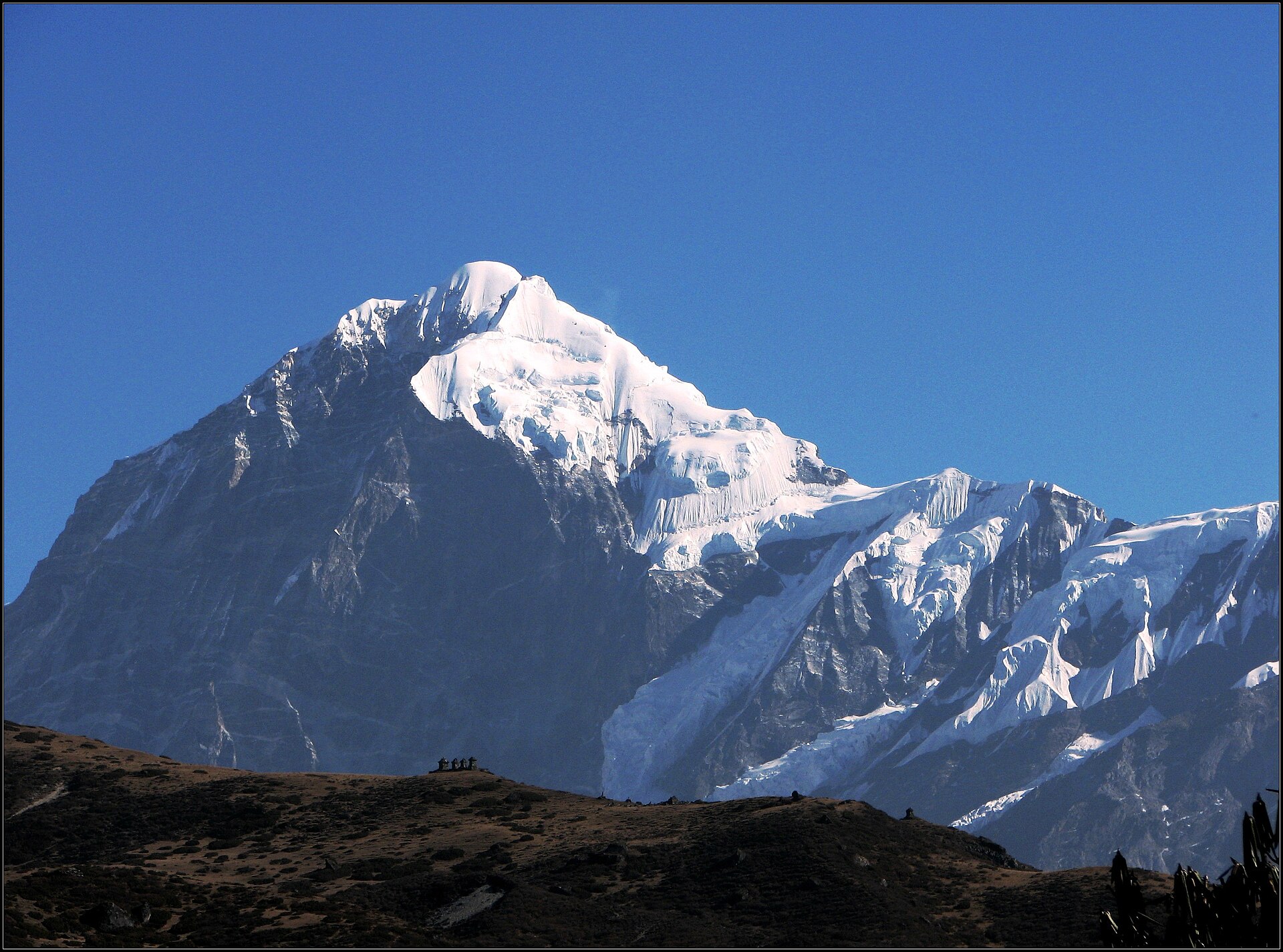
Khangchendzonga National Park (KNP) covers about 1,784 sq km of Sikkim and takes in Mount Khangchendzonga, at 8,586 metres the world's third-highest peak. In July 2016 UNESCO added it to the World Heritage List as India's first mixed site, which means it was recognised for both its natural and its cultural value.
For most visitors the park is reached on foot, on the trekking route that starts from Yuksom in West Sikkim and climbs towards Dzongri and Goecha La. This guide covers what the park is, why it matters so much to the people of Sikkim, and what to check before you plan a trip.
Why it is a World Heritage Site
The park was inscribed at the 40th session of UNESCO's World Heritage Committee, held in Istanbul in July 2016, as reported by Scroll.in at the time. It had been on UNESCO's tentative list since 2006, according to The Tribune.
On the natural side, the numbers are striking. The Tribune's 2016 report notes that the park rises from about 1,220 metres to 8,586 metres within an aerial distance of around 42 km, one of the steepest altitude ranges of any protected area in the world. It also counted 20 peaks above 6,000 metres inside the park. The park was first notified in August 1977 at about 850 sq km and was later extended to its present size of roughly 1,784 sq km.
On the cultural side, the park is the heart of a landscape that Sikkim's communities have treated as sacred for centuries (more on that below). That combination is what makes it a "mixed" site rather than a purely natural one.
A sacred landscape: Mayel Lyang and the beyul
Mount Khangchendzonga is revered as Sikkim's guardian deity. For the Lepcha people, the land on its slopes is Mayel Lyang, described by All India Radio's News On AIR as "a hidden paradise given by their gods". This reverence predates the arrival of Tibetan Buddhism, as Down To Earth notes in its reporting on the mountain.
For Tibetan Buddhists, Sikkim is a beyul, a hidden sacred land. Down To Earth traces these associations to Guru Rinpoche in the 8th century, and records that Lhatsun Namkha Jigme formally "opened" the beyul in the 17th century. The Tribune's 2016 report also mentions the tradition of ters, hidden religious texts said to be revealed by tertons (treasure revealers), which has helped keep many sacred sites in the area protected.
Because of this, climbing the main summit from the Sikkim side is not allowed. In May 2025 the Sikkim Bhutia Lepcha Apex Committee (SIBLAC) stated that official notifications of the Government of Sikkim clearly say scaling the peak is strictly prohibited, as reported by Down To Earth. Treks in the park go to viewpoints and passes, not to the summit.
Wildlife and glaciers
KNP is home to some of the Himalaya's rarest animals. Reports from News On AIR and India Today NE list snow leopards, clouded leopards, red pandas, blue sheep and Himalayan tahr, along with birds such as the Impeyan pheasant and satyr tragopan. The Tribune's 2016 report also mentions musk deer and the great Tibetan sheep.
The park holds a large number of glaciers and more than 70 glacial lakes, according to News On AIR and India Today NE. (Published counts of glaciers vary widely between sources, so we have not given a single figure.)
Rated "Good" by IUCN in 2025
In November 2025 the International Union for Conservation of Nature (IUCN) rated KNP's conservation outlook as "Good" in its World Heritage Outlook 4 report. India Today NE and News On AIR reported that it was the only Indian natural heritage site to get this rating, while sites such as the Western Ghats and the Sundarbans were described as facing serious concerns.
The reasons India Today NE listed include community-based management, forest staff working closely with local residents, the remote terrain, cross-border cooperation with Nepal's Kanchenjunga Conservation Area against poaching, and hazard mapping and early-response systems for glacial lake outburst floods.
How visitors experience the park
The best-known way into the park is the trek from Yuksom in West Sikkim towards Tshoka, Dzongri and Goecha La. The park is managed by the Sikkim Forest Department through its KNP division, which also oversees the condition of trails and trekker huts on this route.
This is a serious high-altitude trek, not a day trip. Trails can be damaged by landslides in the monsoon: in 2021, for example, India Today NE reported that a large section of the trail at Nalung, between Yuksom and Tshoka, was washed away and had to be restored by the KNP division and local pack-animal operators before the route reopened.
Before you go
- Permits: Entry to the park and treks such as Dzongri and Goecha La need permission from the Sikkim Forest Department, and the rules for foreign nationals are different from those for Indian citizens. The exact process, offices and fees change, so confirm with the Forest, Environment and Wildlife Management Department or the forest office at Yuksom before you plan.
- ID: Carry original photo ID, and ask the permit office in advance what else they need.
- Go with experienced local support: Treks on this route rely on local guides, cooks, porters and pack-animal operators. Use a registered tour operator rather than going alone.
- Season and weather: Avoid planning around the monsoon, when landslides can block the trail, and expect snow and very cold nights at higher camps in winter. Check conditions close to your dates.
- Altitude: The route climbs to high altitude over several days. Take acclimatisation seriously and speak to a doctor before the trip if you have any health conditions.
- Respect sacred sites: Many lakes, caves, rocks and peaks in the park are places of pilgrimage. Don't litter, don't disturb shrines or prayer flags, and follow your guide's advice.
Getting to Yuksom from Gangtok or Siliguri is a long road journey. You can book a car through our cabs page, check the latest road status before setting out, and use Plan your trip to fit a trek into a wider Sikkim itinerary.
Permit rules, fees and trail conditions change. Treat this guide as background (as of November 2026) and confirm current requirements with the Sikkim Forest Department before travelling.
Sources
- The Tribune: Sikkim's Khangchendzonga National Park now in Unesco heritage list (July 2016)
- Scroll.in: Unesco adds three Indian locations to its World Heritage Sites list (July 2016)
- News On AIR: Khangchendzonga National Park rated 'Good' by IUCN, only Indian site with positive status (Nov 2025)
- India Today NE: Khangchendzonga National Park rated 'Good' by IUCN, emerges as India's best heritage site (Nov 2025)
- Down To Earth: Sikkim's indigenous peoples have never understood why Khangchendzonga should be scaled (May 2025)
- India Today NE: Famous Dzongri-Goechala trekking route reopens for trekking and tourism (Sept 2021)
Photo credits
- Cover photo: Abhishek532 / Wikimedia Commons, CC BY-SA 4.0 (source)
- Photo 1: Dyutiman.ratul / Wikimedia Commons, CC BY-SA 4.0 (source)
- Photo 2: Nanda ramesh / Wikimedia Commons, CC BY-SA 4.0 (source)


